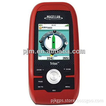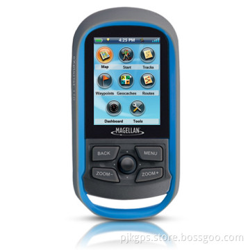

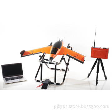
Magellan Explorist 510 GPS Survey Area Measuring Equipment
- Payment Type:
- T/T, Western Union, Paypal, Money Gram
Your message must be between 20 to 2000 characters
Contact Now| Place of Origin: | Taiwan, China, USA |
|---|---|
| Payment Type: | T/T, Western Union, Paypal, Money Gram |
Magellan eXplorist 510 gps survey area measuring equipment
Magellan handheld gps key advantage:
- Competitive price for any model, fast delivery as keep large ready stock
- Warrranty: 1 year, and we can replace new one or return money,if our gps have any problem,
- accuracy 3-5Meter
- colorful touch screen for Magellan gps 510 610 710
- IP67 waterproof
- NMEA Message Output
- 4-rich function with world map
- Multi language supporting: Chinese English French Spainish Bosnia and Herzegovina Czech German Estonian English Spanish Finnish French Greek Croatian Italian Lithuanian Latvian Dutch Polish Russian Swedish Slovenian Ukrainian
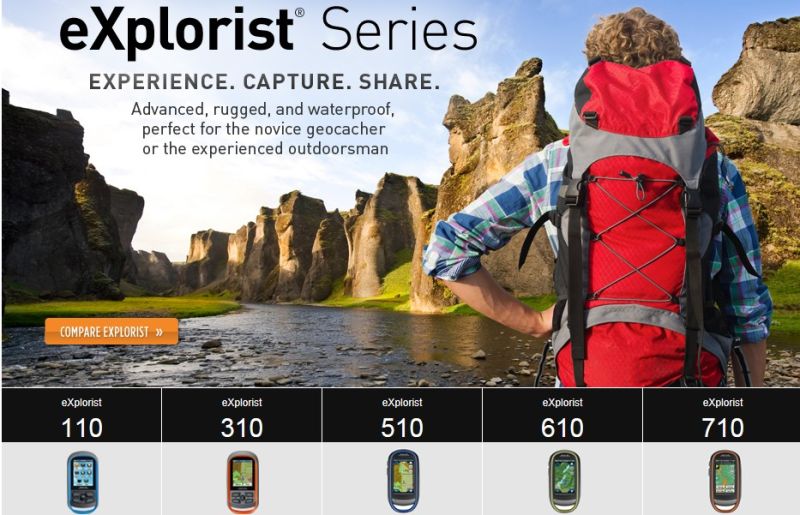
The eXplorist 310 HANDHELD GPS is pre-loaded with the World Edition map, which includes a complete road network in the United States, Canada, Western Europe, and Australia and major roads throughout the rest of the world. This unique preloaded map also includes water features, urban and rural land use, and city centers. Regional versions of Magellan's Summit Series topographic maps are available for download to expand mapping coverage and level of detail.
A vibrant, transflective color screen allows for the best readability in direct sunlight. To zero in on the exact location of a geocache, favorite fishing spot, or the next summit, the SiRFstarIII GPS chipset provides accuracy of 10-15 feet (3-5 meters). To keep your outdoor adventure going all day long, the device is powered by two AA batteries for 18 hours of constant usage. The eXplorist 310 is rugged, waterproof, and submersible (IPX-7).
All of this is packed into a small and attractive handheld form factor that can be hung around your neck with the optional Magellan lanyard or attached to your pack with the built-in carabineer hook.
The eXplorist 310 provides unmatched assistance with navigation, such as the combination of the world's two most useful navigational tools - a compass and a map! Overlay a series of different transparent compass styles on top of a pre-loaded worldwide map that show roads, water features, parks, and city centers. Access the dashboard screen that shows a mini-compass for quick reference and customizable navigation data fields, such as latitude, longitude, heading, bearing, distance to end, trip odometer, and many more. Go back to the map screen and view your active track, which is a series of digital breadcrumbs to record all yours movements. Mark your starting point (car, trailhead, parking lot…) with a waypoint and easily navigate back to that location at the end of the day.
Our service;
Payment and Terms:
Delivery time: ready stock for sample, 1-2 week for large quantity,
Payment terms: T.T in advance, Wester Union, Escrow
Warranty; ONE year,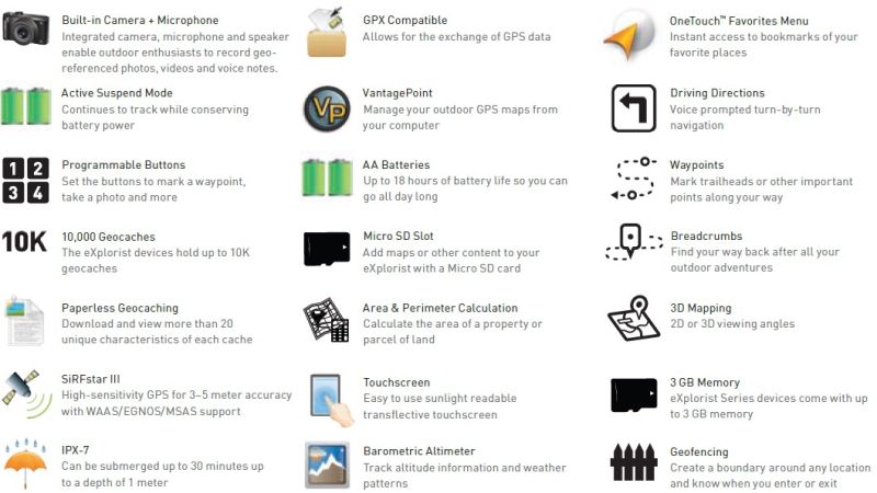

Related Keywords