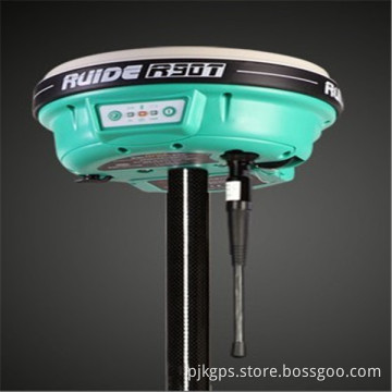
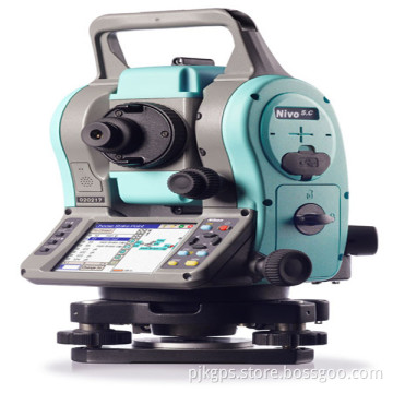
Imms-Indoor Mobile Mapping System/3D Scaning and Modeling
- Payment Type:
- T/T, Paypal, Western Union
Quantity:
Your message must be between 20 to 2000 characters
Contact NowBasic Info
Basic Info
| Place of Origin: | China |
|---|---|
| Payment Type: | T/T, Paypal, Western Union |
Product Description
Product Description
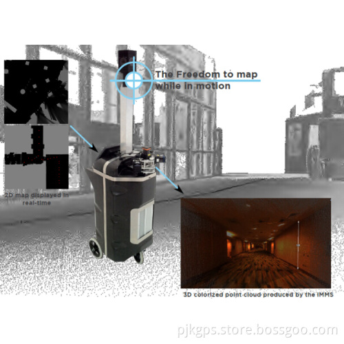
IMMS-indoor Mobile Mapping System/3D scaning and modeling
iMMS allows you to collect data in complex environments, fast, accurately while you are walking through scanning area.
iMMS is you ideal tool in order to create fast point clouds in complex environments. It combines LiDARs and camera: as you create a point cloud
through laser, you will be able to collect pictures to enhance your data collection.
During the post-processing phase, automatic algorithms corrects drifts.
iMMS is especially designed to deploy in indoor complex sites, buildings and environments of any sizes. All this technology is easy-to-use so that
anybody can collect valuable data at a fair rate.


Applications
The iMMS can be used in every indoor environment, whatever the
area:
Interior environments model,
Asset Management
Public buildings (Airport, Station, Administration,…)
Security related environments,
Governmental buildings where GPS forbidden,
Shopping malls,
Offices
Virtual Tour
Benifits
High-speed scanner in building areas
High-speed image grabber with computed position
A device easy to use
No wasted time for endless initialization steps
Scanner reducing 3D Shadow effects
Scanner producing centimeter accuracy
Possibility to geo-reference every data using GCP
An Update mode to refresh your data
Related Keywords
Related Keywords
You May Also Like
You May Also Like